Seneca Creek Backcountry
Location
- Randolph & Pendleton counties
- Potomac Ranger District
- HC 59, Box 240
- Petersburg, WV 26847
- 1.5 miles south of Petersburg off Rt. 28/55. Follow County Road 29 south from Whitmer.
Seneca Creek Trailhead: From Seneca Rocks, turn right on WV-28S/WV-55W and follow for about 10 miles, then turn right onto Briery Gap Run Rd. After about 2.4 miles continue onto FR 112. Follow on FR 112 for about 11.4 miles and the trailhead will be on the right.
Features
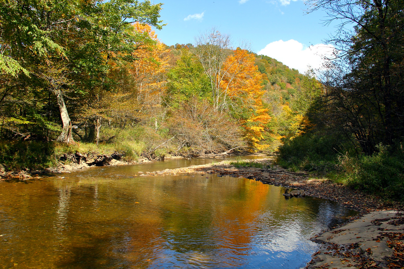
Part of the Monongahela National Forest. Northern hardwood forest of maple, beech, birch, cherry and other trees. Elevation from 3,000 to over 4,800 feet. Seneca Creek is named after the large bluff of white sandstone
Links
- Website: Seneca Creek Backcountry
- Album for Seneca Creek Backcountry
- Official Seneca Creek Backcountry Trail Map
Nearby
Blackwater Falls State Park, Canaan Valley State Park, Lost River State Park, Spruce Knob, Seneca Rocks