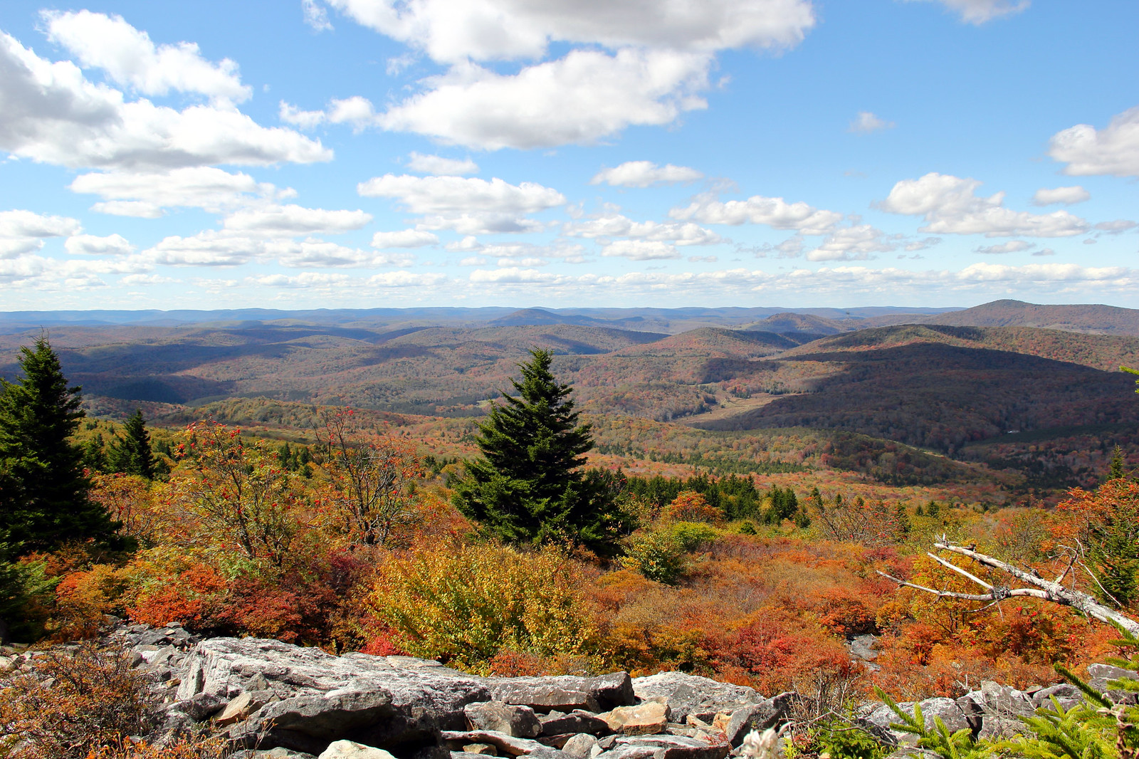
Spruce Knob
Location
- Pendleton county
- N38° 42.018' W79° 31.936'
From the north: Take Whitmer Road (CO-29) south from US-33 (one mile west of Harman) to Whitmer for 8.3 miles. From Whitmer continue south on Whitmer Road for 10.3 miles and turn left on Forest Road 1 for 2.5 miles to the campground and lake.
From the south: Turn left onto Forest Road 112 for approximately 11 miles to the lake.
From the east: Take Briery Gap Road (CO-33/4 at Gateway General Store) 2 miles south of Riverton off US-33 for 2.5 miles to Forest Road 112 and follow the signs to Spruce Knob.
Features
WV's highest peak at 4,863 feet above sea level, Spruce Knob Tower, Dark Sky Park
Links
- Website: Spruce Knob
- Album for Spruce Knob
Nearby
Blackwater Falls State Park, Canaan Valley State Park, Lost River State Park, Roaring Plains, Seneca Creek Backcountry, Seneca Rocks