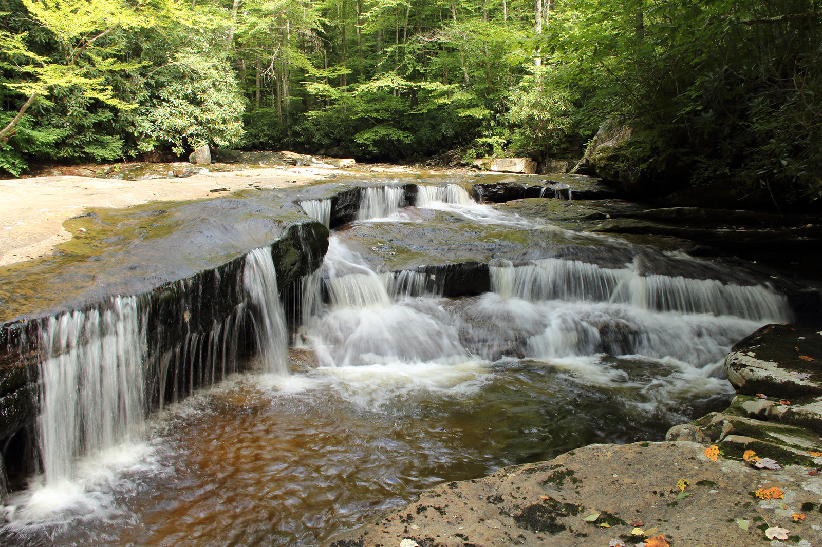
Tea Creek Wilderness
Location
- Pocohontas county
- N38° 20.464' W80° 13.919'
From Marlinton take US Route 219 north 7 miles to State Route 150, which is the Highland Scenic Highway. Turn left onto Route 150. The Tea Creek trail system is located just north with trailheads located over the span of the Highland Scenic Highway.
History
Many trails are routes of logging roads from 1900s.
Features
Part of the Monongahela National Forest. Williams River, Tea Creek, Lick Creek, Red Run, Tea Creek Mountain, Gauley Mountain.
Links
- Website: Tea Creek Wilderness
- Album for Tea Creek Wilderness
Nearby
Beartown State Park, Calvin Price State Forest, Droop Mountain Battlefield State Park, Falls of Hills Creek, Green Bank Observatory, Greenbrier River Rail Trail, Highland Scenic Highway, Seneca State Forest, Tea Creek Wilderness, Watoga State Park
