Dolly Sods Wilderness Area
Location
- Mononghelia National Forest.
- Grant, Randolph, and Tucker Counties
History
Prior to the 1880s the area was described as the best spruce-hemlock-black cherry forest in the world. In the 1910s fires repeatedly ravaged destroying everything right down to the underlying rocks, creating a desert. In 1916 most of Dolly Sods was purchased by the federal government for the Monongahela National Forest. In the 1930s, the CCC attempted to remediate the damage and replanted red spruce.
Beginning in August of 1943, the military used the area for maneuvers and mountain training for World War II. Cabin Mountain and Blackbird Knob served as designated targets. Live artillery and mortar shells have been found as recently as 2006.
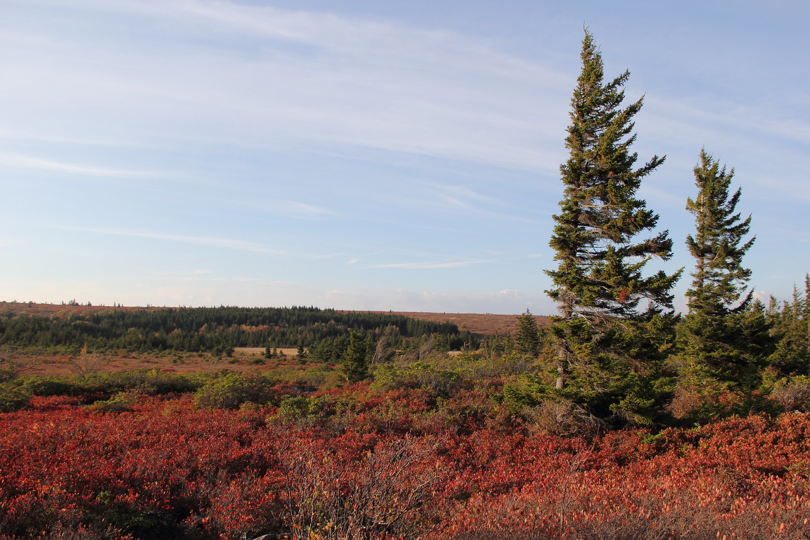
Features
17,371 acres. Bogs and heath. Elevation from 2,500 to 4,700 feet. UXO. Stonecoal Run, Red Creek, Alder Run, Fisher Spring Run, Blackbird Knob, Cabin Mountain
Links
Nearby
Blackwater Canyon, Blackwater Falls State Park, Canaan Mountain Backcountry, Canaan Valley State Park, Canaan Valley Wildlife Refuge, Chimney Top, Fairfax Stone State Park, Otter Creek Wilderness, Roaring Plains